The Association of Geographic Information was formed to maximise the use of GI for the benefit of the citizen, good governance and commerce.
The British Association of Remote Sensing Companies represents the interests of all those involved in commercial earth observation work.
The BCS is a dynamic association of individuals and organisations dedicated to exploring and developing the world of maps.
The Charles Close Society was founded to bring together those with an interest in the maps and history of the Ordnance Surveys of Great Britain & Ireland.
The Geographical Association is the international community of practice for all teachers of geography
THS UK provides a forum for all those involved in activities related to hydrography and associated disciplines, both in the UK and overseas.
The Society of Cartographers aims to support and encourage all those involved in the production of maps.
The IMIA is dedicated to fostering the growth of the mapping industry through the exchange of ideas and information, education of industry trends and access to a wide spectrum of mapping leaders.
RSPSoc is the UK's leading Society for remote sensing and photogrammetry and their application to education, science, research, industry, commerce and the public service.
The UK's learned society and professional body for geography, supporting geography and geographers across the world.
RICS is the global professional body promoting & enforcing the highest international standards in the valuation, management & development of land, real estate, construction & infrastructure.
The Royal Institute of Navigation was formed to unite in one body those interested in navigation and advance the art, science and practice of navigation.
ICES encourages and regulates the professional aspirations of quantity surveyors and land surveyors working within the civil engineering sector.
The Survey Association, known generally as TSA, is the trade body for commercial survey companies in the UK.
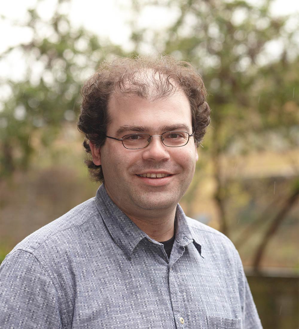
This year's Lecture will be given by one of the architects of a true Geo break-out brand!
what3words was created to help people find every single location on the planet by splitting the entire surface of the world into three metre squares and giving each one a simple three word name.
Jack Waley Cohen co-founded what3words in 2013, has overseen the growth of the team to over 120 staff on 4 continents and will provide a unique insight into a global geo- success story.
Simply email Linda Powell to reserve your ticket